Surveys provide detailed, high resolution imagery of underwater objects or ‘landscapes’ over large areas. Applications include multibeam echo-sounder (MBES) and side scan sonar (SSS) survey of underwater features. This can be used formonitoring water depth in channels and ports, high-spot or obstruction detection and imaging infrastructure to inspect features such as presence of ‘scouring’.
GIS BASED BATHYMETRY & HABITAT MAPPING
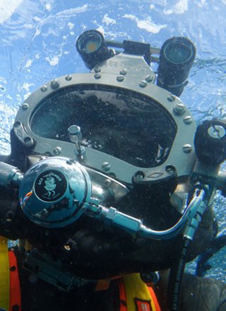
Surveys carried out by a team of experienced scientist divers providing detailed data collection, high resolution images of underwater objects and landscapes
We provide a range of GIS based services with particular expertise in spatial seascape surveys for the purposes of monitoring water depth and habitats (IE, Reef, Seagrass, Algae, Sediment). We work in conjunction with qualified and certified Hydrographers, deliver outcomes that provides fully processed accurate bathymetry information, imagery and intrepretation of GIS information attained.
BATHYMETRY SURVEYS
HABITAT MAPPING
Our GIS capabilities utilise the latest technology to accurately map the extents of underwater habitats. Applications include mapping seagrass beds, reef and sediment extents and algae or sessile invertebrate habitats. Additionally we can use GIS based analysis to determine changes in habitats over time or loss/gain for sediment volumes.
GIS BASED ASSET MANAGEMENT & ANALYSIS
GIS based asset management has become a key feature of government and private agencies such as Water Authorities and Ports and Channel Managers. Our team provides extensive expertise for the purpose of providing information and interpretation that can directly inform GIS based Asset Management Systems in place.


